Kumanovo
About Kumanovo
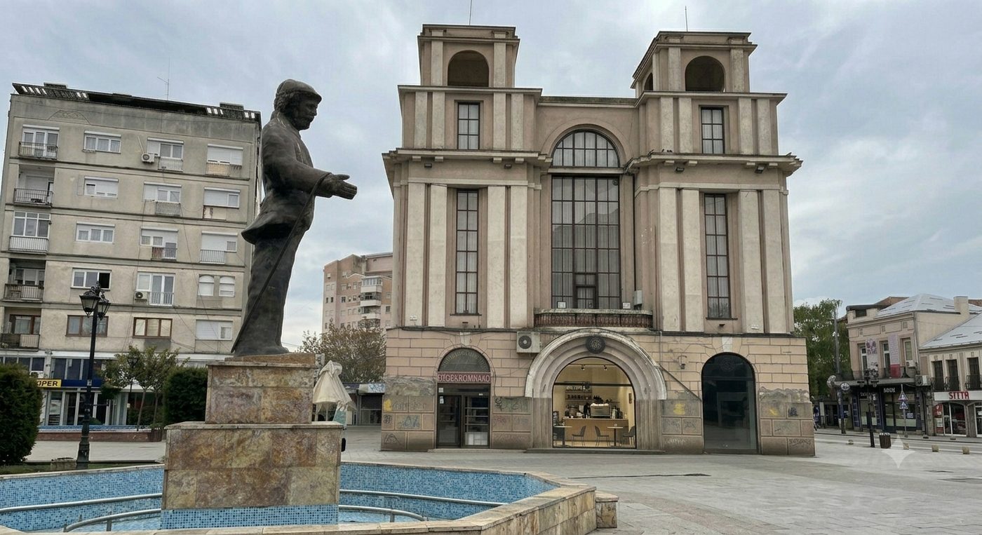
Kumanovo is a city in the northeastern part of North Macedonia, about 30 km (19 mi) northeast of the capital, Skopje. Sitting in the fertile Kumanovo Field at the foot of the Skopska Crna Gora mountains and close to the borders with Serbia and Kosovo, it is the seat of the most populous municipality in the country and one of the largest cities in North Macedonia.
The city's name is believed to derive from the Cumans, a nomadic people who held the area in the late 11th century. Kumanovo grew from a small Ottoman-era settlement into an important trading hub after the railway linking Skopje to Thessaloniki reached it in the 1870s. The city is best known internationally for the Battle of Kumanovo (1912), a decisive engagement of the First Balkan War, and for the Kumanovo Agreement of June 1999, which ended the Kosovo War and opened the way for the international peacekeeping mission there.
Today Kumanovo is a multicultural city of Macedonians, Albanians, Serbs, Roma and other communities, with an economy built on textiles, agriculture, metalworking and trade. Its compact center, anchored by the city square and the pedestrian čaršija (old bazaar), makes it an easy city to explore on foot — and increasingly, by bus.